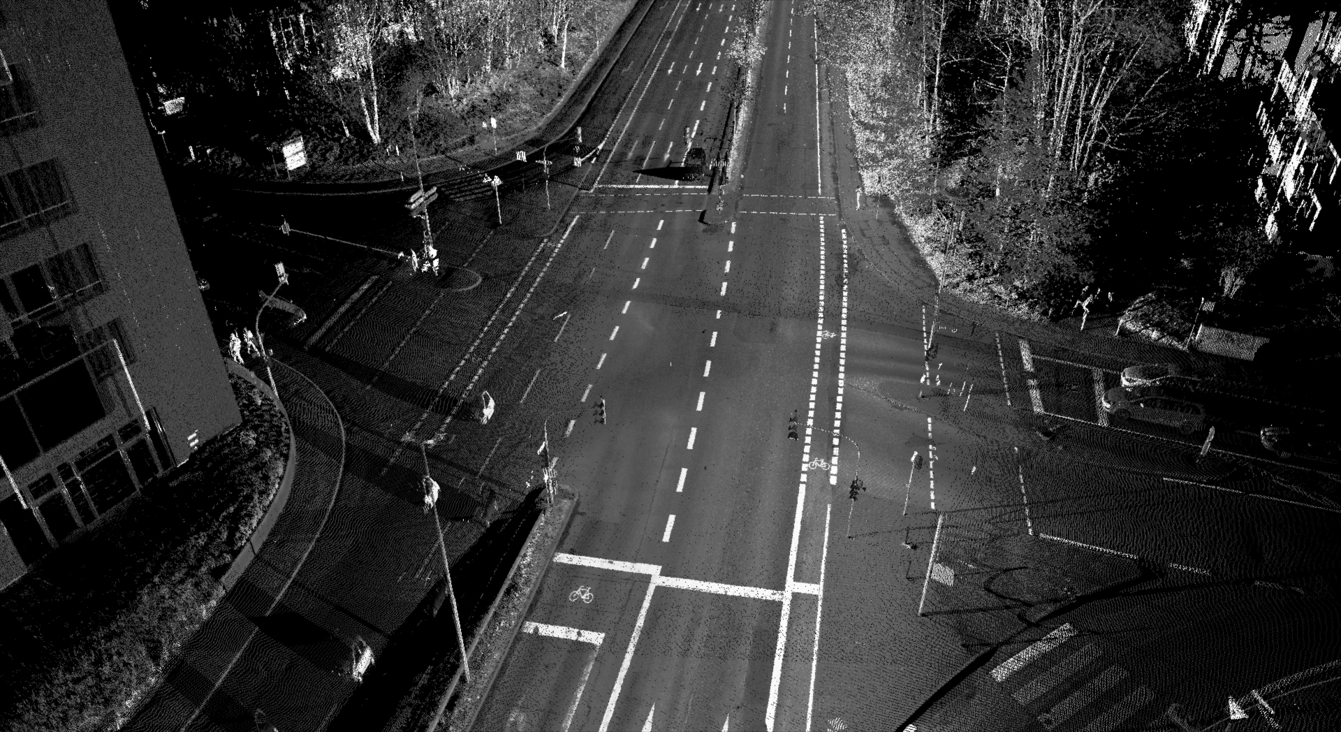
Highly automated and autonomous vehicles require map material that is as accurate as possible for safe operation. Classic map sets for navigation are, however, not precise enough. The required resolution and accuracy of so-called HD maps is in the sub-centimeter range. This accuracy is achieved with our multisensor measurement system REDAR (Road & Environmental Data Acquisition Rover). The data produced by REDAR are:
- Georeferenced 3D laser scan data. For each measuring point 3 coordinates and the intensity of the reflection are recorded. The local accuracy on the road is typically better than 1mm.
- Georeferenced color photos synchronized with the laser measurement data. The measurement rate of the two 30 megapixel cameras is 4Hz each.
We can extract the following information from the data:
- Surface model of (test) tracks (e.g. in OpenCRG format)
- Logical description of road networks (e.g. in OpenDRIVE format)
- Extended logical descriptions enhanced with full 3D information of objects
- Photorealistic 3D models of measured scenes
REDAR uses the following measurement techniques:
- Inertial system with DGPS and distance sensor
- High-end laser scanners
- High-resolution industrial cameras


